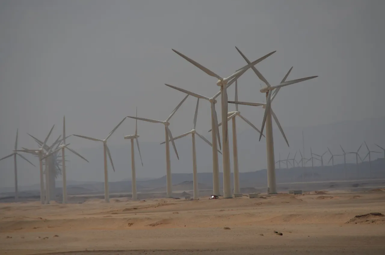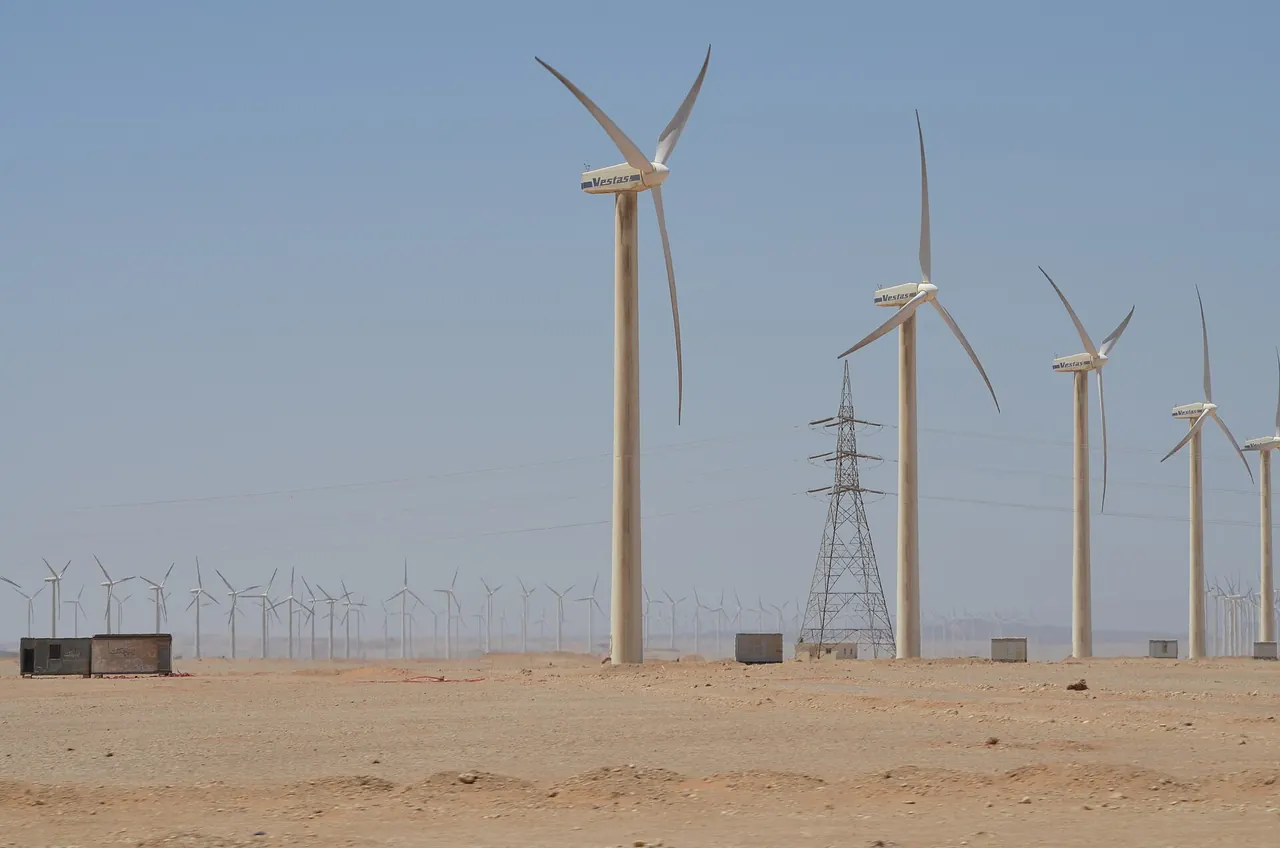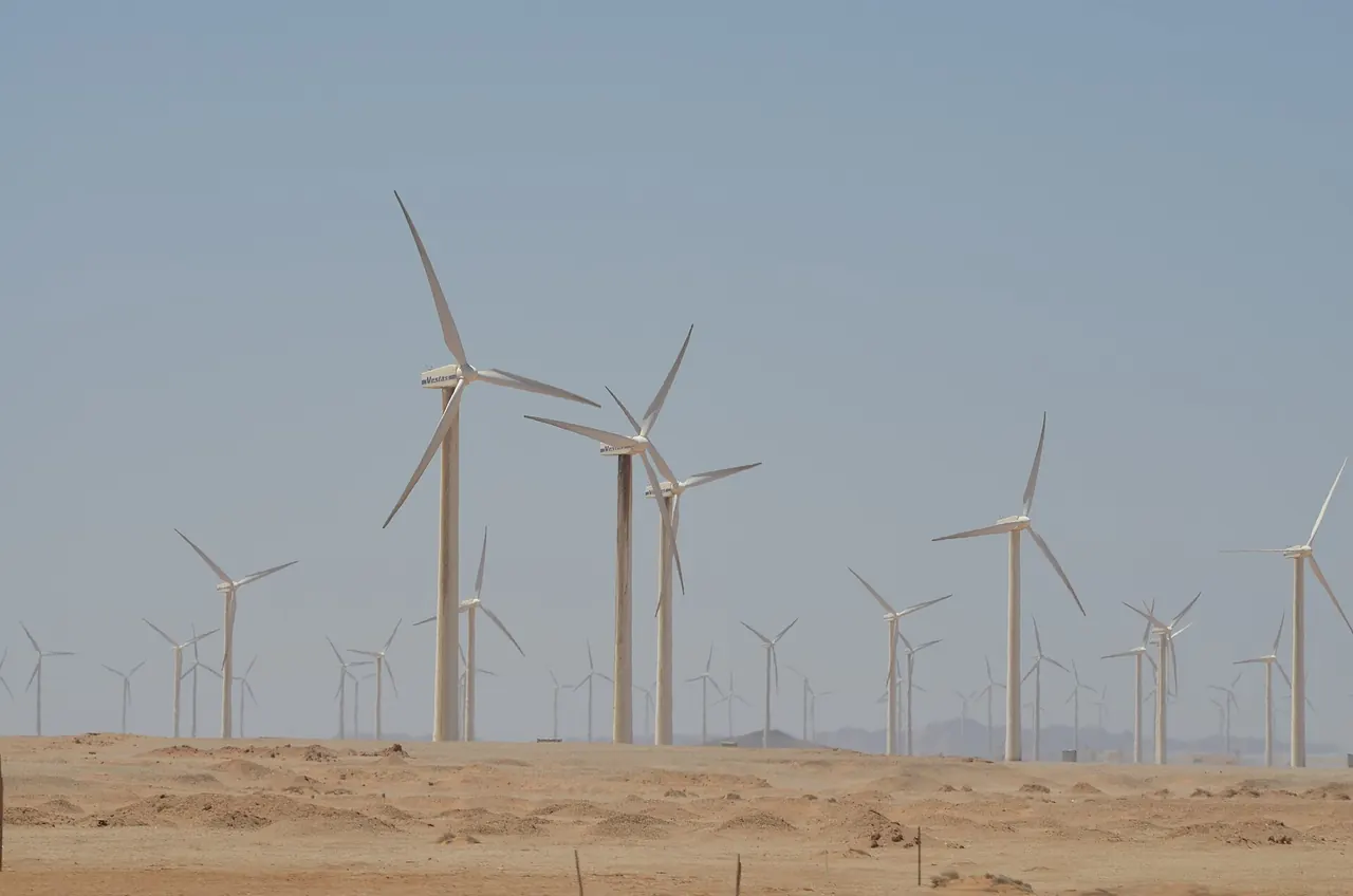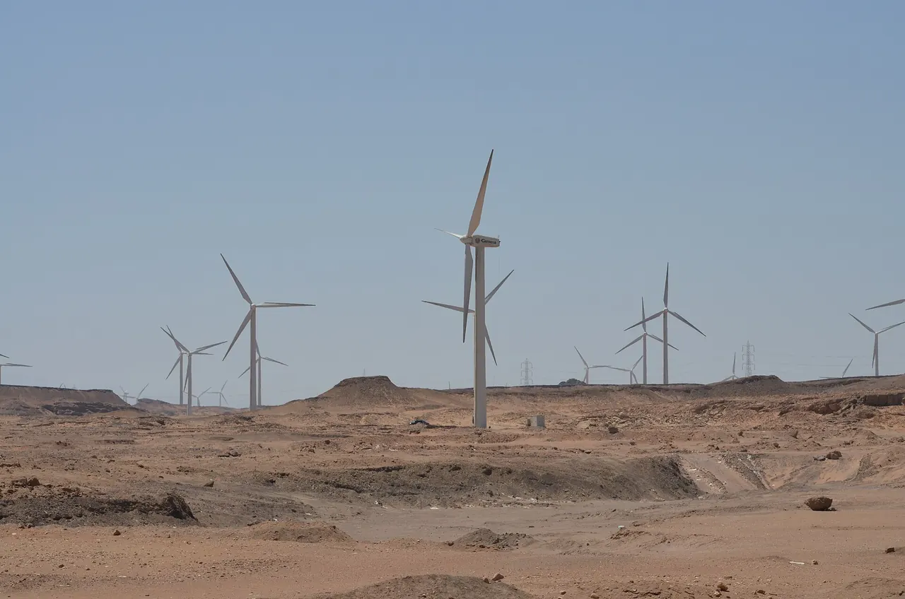
Six hundred and fifty six square kilometres of state wind concession on the Gulf of Suez. A government-backed study in 2007 marked 60 percent of it as red zone, closed to turbines because of migrating birds.
That map still sorts the new plots. Suez Wind Energy’s southern 550 megawatt plot landed in the orange zone, where further study is required, beside three plants already in the green, inside an Important Bird Area 100 kilometres long. The EBRD rated the project Category A and is financing the 1.06 billion dollar build with up to 200 million dollars. ACWA Power and HAU Energy are among the sponsors.
Then read the biodiversity action plan. Its estimate for that plot, after mitigation, is 34 soaring birds a year, mostly from collisions with the 47 kilometre overhead line rather than the blades. The EBRD page says line routes are determined by the Egyptian authorities and generally follow existing lines.
Our reading
The developer inherits the wire it will be judged on. We think the market prices this backwards. Wind speed and turbine cost get the models, while the deadliest piece of the project may be the one the developer does not route.
The plan has observers on watch twelve hours a day through 28 October. When the next Gulf of Suez round opens, who prices the wire?